


|
DKW Biesbosch
The DKW Amsterdam is developed for sailors, motorboaters and commercial shipping. Navigating along the shallow waters of Biesbosch national park has never been this easy!
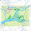
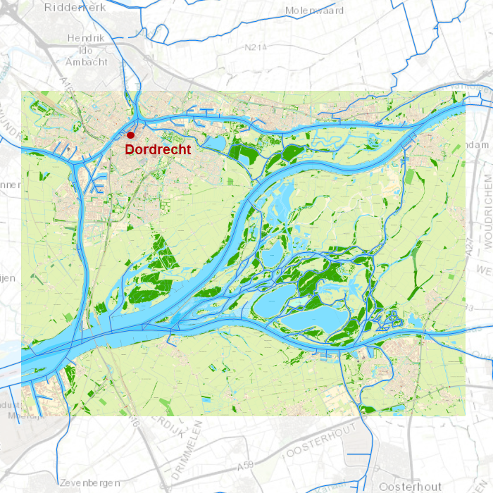
Covering area
In this chart all waterways in and around Biesbosch national park are covered. With a.o.
|
|
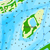
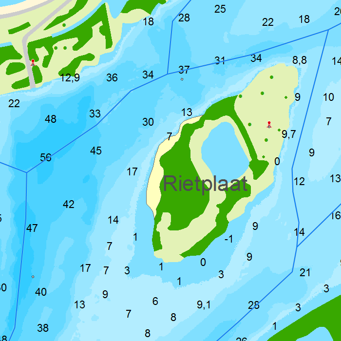
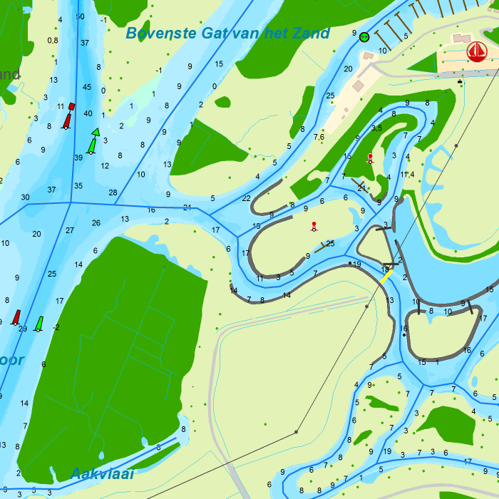

Depth image
This chart set has a unique and clear depth image with distinctly colored depth surfaces on the lakes and depth numbers along the waterways. The chart is published annually by Stentec, based on the Top10NL data from the Kadaster, Inland ENC charts, Rijkswaterstaat and user remarks. The chart has a high level of detail with 0,8 meter per pixel, making it possible to zoom in up until the jetties at your home port.
This hybrid chartset consists of, a.o.
- 1 Overview chart (scale 1:23.000, 6.4 m/pixel).
- 1 Highly detailed chart for orientation and route planning (scale 1:3.000, 0.8 m/pixel).
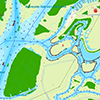
Chart image
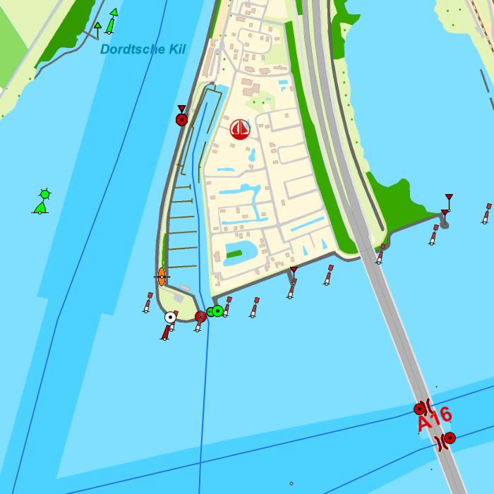
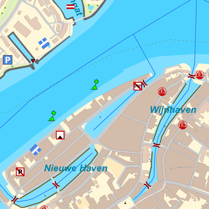
Stentecs inland water charts are so-called hybrid charts. The bottom surface is a raster format. This is where a.o. the quays, depths and buildings are shown. All other navigational information is projected on top of this through waypoints. These waypoints remain the same size when zooming in or out. The chart can be fully personalized by adding or removing certain waypoint groups and showing you only the information you select.
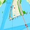
In total, the DKW the Netherlands has 550 waypoints, with a.o. buoys, harbours, moorings, diesel tank stations, watersport campsites, VHF channels, electric chargers ‘Elektrisch Varen’ and ‘Varen Doe Je Samen’ nodes.
Specifically for commercial shipping waterway signs and VIN moorings are added.
System requirements
Windows laptop or PC:- Official WinGPS 5 version
- 160 MB free disc space
- Windows XP, Vista, 7, 8 or 10 with DirectX 9 video card (or higher)
- Official WinGPS Marine version
- 160 MB free disc space
- Android operating system, minimum of 2 GB RAM
This chart set can be used in the free WinGPS 5 Lite for Windows and can also be installed in the WinGPS Marine apps for Android. For route planning with rotating chart and AIS you will need WinGPS 5 Pro or the paid version of WinGPS Marine. Click here for more information about the WinGPS series.


